
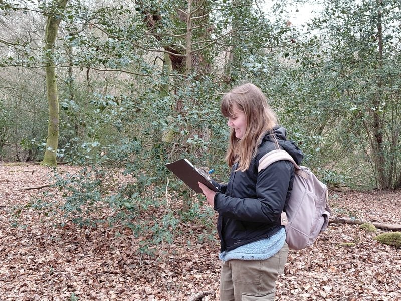
When someone asks me what I do for work, I tell them I am a GIS Senior Officer. This usually draws a blank expression, and I quickly explain that I “make maps”. The truth is, GIS (Geographical Information System) is about more than just making maps. It’s about the hardware, software, data, processes, and people that make up a powerful system for visualising all kinds of data with a spatial component.
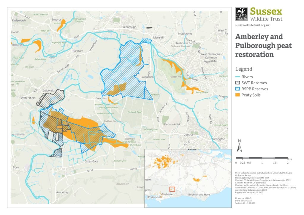
Approximately 20 people across the Trust use GIS in their day-to-day work, for mapping and producing reports on habitats, species, and conservation activities. My job is to provide training to colleagues in how to use GIS effectively and ensure they have access to the data they need for their roles. I have also created an online map for all staff to use, regardless of any prior GIS knowledge, so they have the boundaries for our nature reserves, projects, and Local Wildlife Sites at their fingertips.
Sometimes specialist GIS skills are needed for a project, such as creating the bespoke online maps for the Local Nature Recovery Strategies. This involved pulling together lots of different data from various stakeholders, cleaning it all up, and building an online map platform so anyone can see where actions for nature recovery could be implemented across Sussex.
Seeing the wood for the trees (remote sensing case study)
One murky March morning, I found myself clambering through the prickly understorey at Ebernoe Wildlands with Ranger Clive Lunny. Not a typical Tuesday for me, but we were here to collect some data about the presence and density of Holly to help inform the management of the reserve.
As you can imagine, Holly is a hostile subject to study, and I imagine that mapping the entire reserve from the ground could be a week-long expedition with nothing to show for it but the scratches on your arms. This is why we opted for collecting Holly data on a sample of the site, and I returned to my desk mostly unscathed to continue the work using GIS.
I used a technique called remote sensing classification, which is about studying the surface of the earth from above, using images collected by drones, aircraft, and satellites. I combined the data that Clive and I collected with some aerial images taken in December using a drone. Time of year is important for the images in this study: in winter the broadleaved branches are bare, so from this bird’s eye view we can see through the canopy to the evergreen Holly below. Using remote sensing classification, GIS can identify areas of Holly by using the sample data as a reference, and comparing the colours and textures of these areas to the whole image to find matches.
Rangers can use this data to understand the extent of Holly at Ebernoe Wildlands. This can be used to plan which areas need some management intervention, while ensuring some patches are protected for the Barbastelle Bats the site is designated for. This is one example of where GIS is a powerful tool for providing greater insights to our nature reserves, to make informed decisions about their conservation.
This article first appeared in issue 199 of Wild Sussex, our twice yearly members’ magazine
Leave a Reply