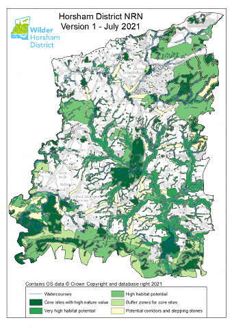
Horsham District Nature Recovery Network
Since the seed of inception of the Wilder Horsham District Project, mapping our ambitions for nature’s recovery has been a priority. A Nature Recovery Network (NRN) is a vision for a joined-up ecological network of wildlife-rich places where habitats are connected to allow species to move through a landscape to feed, breed and seek shelter, giving nature room to thrive, on land and at sea. You can learn more about what an NRN is here.
In this document, we set out how a Nature Recovery Network could potentially be developed for Horsham District, taking advantage of the existing areas with biodiversity value or high biodiversity potential, and considering how they could be improved and linked together.
The Horsham NRN map work is aspirational, demonstrating what could be achieved and where action could be targeted to reverse the biodiversity crisis. However, the Network and Nature Recovery are reliant on the goodwill and expertise of land owners and land managers for delivery.
The goal of the Wilder Horsham District project is to work with land managers and communities at all levels right across the district to help integrate nature recovery and connectivity into the many different land uses. This document is not intended to dictate how any land manager should manage their land but rather to highlight those areas that have particular features that give them high nature potential.
This is only the first iteration of the NRN map. It is based on the available evidence, but as the project progresses and more data is added or becomes available the map will be further refined.
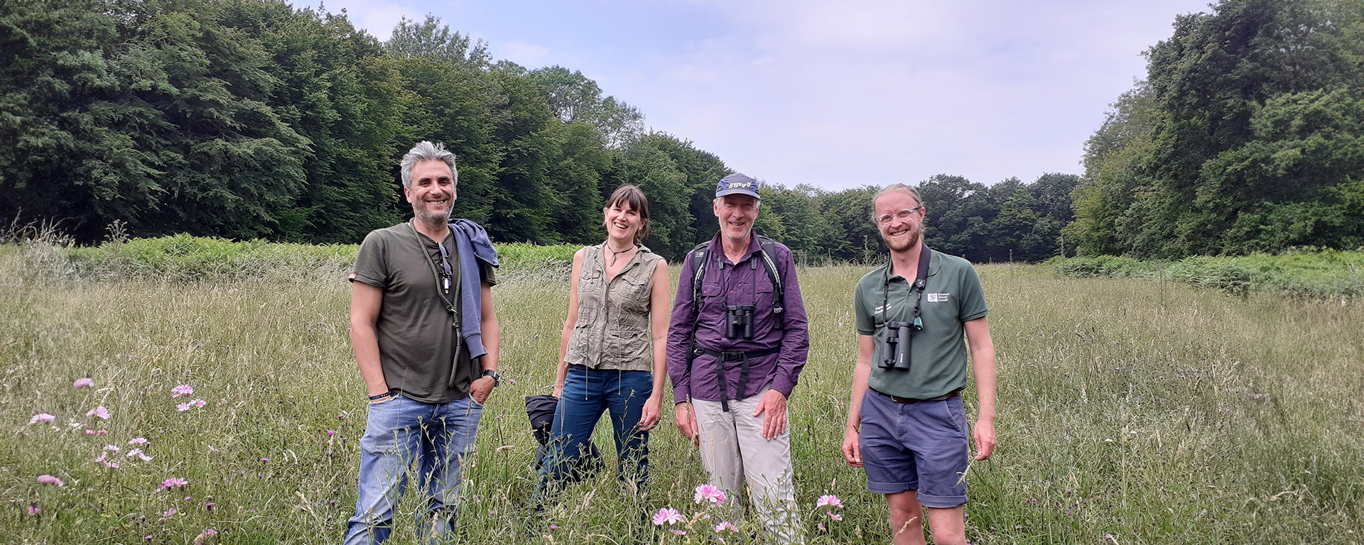
We have been overwhelmed by the positive response and interest from landowners, community groups, and individuals since the project's inception. If you are a landowner or land manager and would like to help contribute to the network, please get in touch using our enquiry form to learn more Landowner Enquiry Form | Sussex Wildlife Trust.