Maps and trails – Rye Harbour Nature Reserve
Find your way around Rye Harbour Nature Reserve with maps and trails to suit different needs
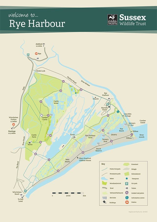
Main reserve map
This map shows the paths and numbered waymark points that can be found across Rye Harbour Nature Reserve.
The map shows numbers 1-15. These correspond to white numbers you will find on posts or stone blocks or waste bins at those locations. You can use them to check your location and progress along one of several routes.
 rhnrwebmapmar191
 camber-castle-stuart-conway-0074
Big Discovery Trail
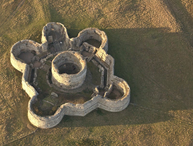
If you’re looking for a longer walk, this trail will take you past the Mary Stanford Lifeboat House and across to Camber Castle. Don’t worry, there are stop-offs at several bird hides and benches along the way.
Play Trail
Fancy sending the kids off on a scavenger hunt or seeing who can build the tallest pebble tower? Then this is the trail for you.
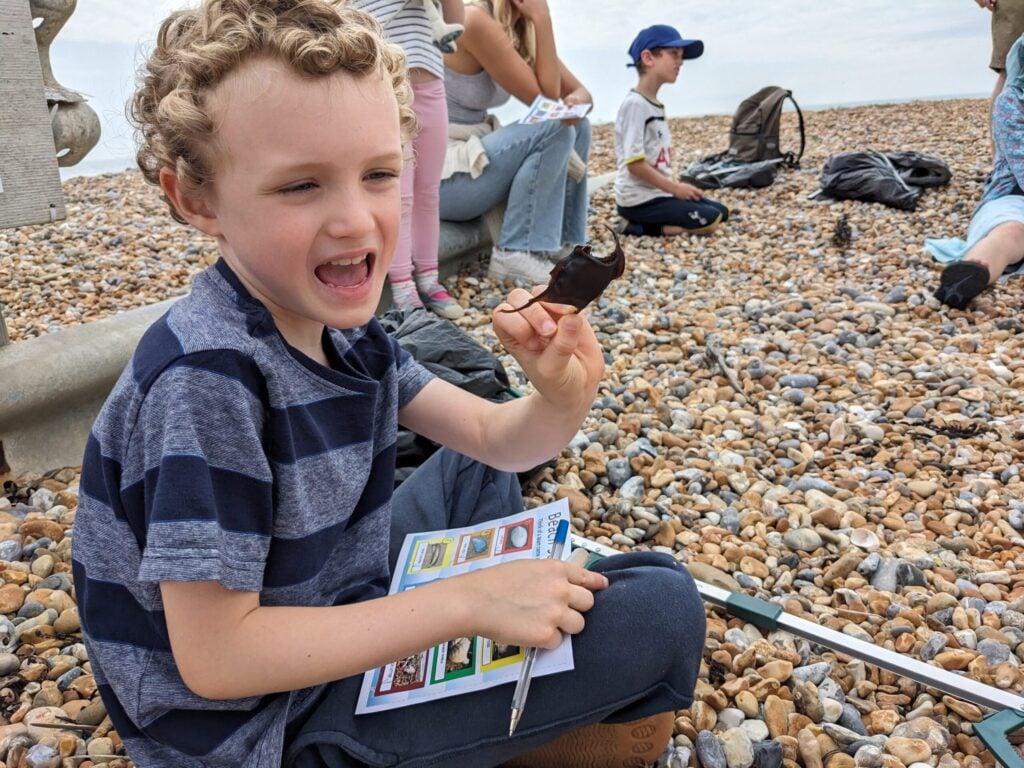 Family time on the beach © Arthur Sloman
 ©Chris Gomersall/2020VISION
Poetry Trail
There is an audio trail featuring 13 poems at different locations around Rye Harbour Nature Reserve. You can hold your mobile phone over the QR code at each location on the map to hear the poem recited by its author.
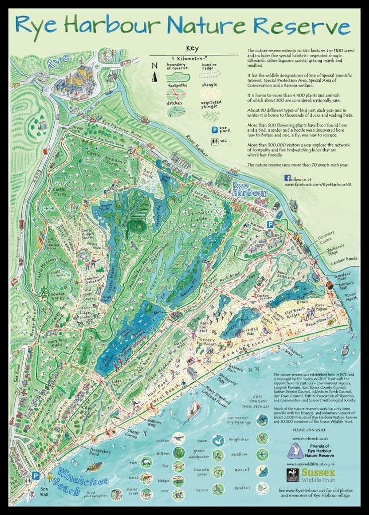
Friends of Rye Harbour Illustrated Map
This map shows most of the location names used for reporting wildlife at Rye Harbour Nature Reserve.
The artwork is by Pete Smith and it’s available as a tea towel, set of coasters or mug from the Discovery Centre shop, or can be bought from the Friends of Rye Harbour online shop.
 rye-tea-towel-800